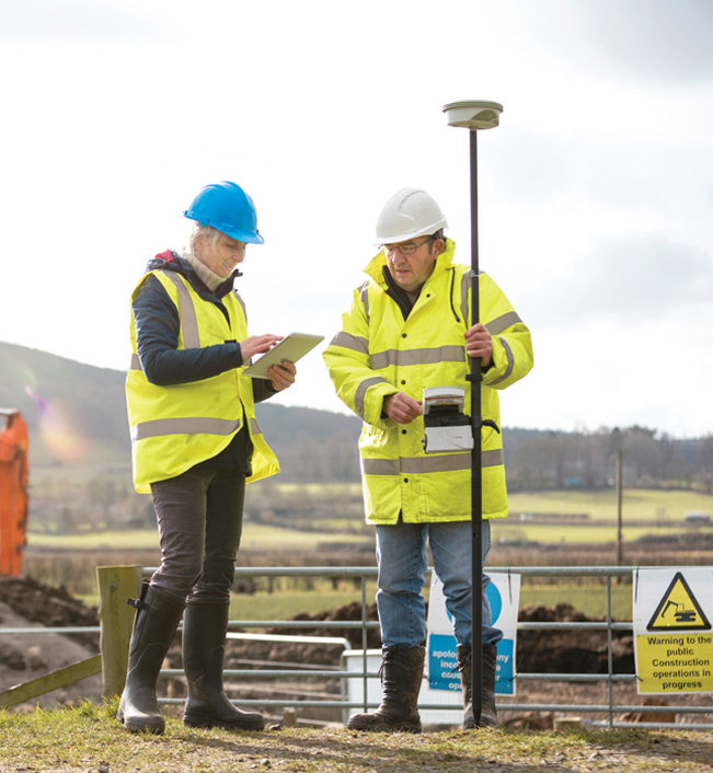
Land Surveying Services in Columbus, Ohio
Willis Engineering and Surveying offers a wide variety of professional services for both residential homeowners and commercial businesses in Columbus, Ohio and its surrounding areas.
Land surveying determines property boundaries by surveyors searching for previous boundaries in existing survey records, land titles and deeds. However, if none exist, they will conduct fieldwork, with a team of technicians and prepare new plans to determine the accurate boundaries of a specific project area.
Their job involves technologically advanced methods of land study including land mapping, navigation and communications. They begin a survey by conducting extensive historical and legal research and performing mathematical calculations
Our Land Surveying Process & Procedures:
In surveying tests, land surveyors use instruments that automatically record land depth, slope, distance, contours and other important data that will determine boundaries and building regulations.
The information that land surveyors gather is used to determine rights-of-way for utilities, road and highway alignments, marking limits and boundaries, well-site locations, mining claims for resource development, subdivisions of land, and the location of houses and buildings for construction or sale.
Land surveyors are often consulted when there is a civil or commercial dispute over property lines and may be called upon to testify in a court hearing. When land surveyors have completed their research and land survey studies, they usually prepare a detailed written report, which may include contour maps and plot maps.
Having your property surveyed by a professional land surveyor can give you peace of mind that you are covered by having the exact boundaries of your property.

Our Services
Property corner and property line locating, legal description preparation, plat of surveys and setting on new corner monuments.
Property line staking for fencing, building additions, and boundary line disagreements.
New home Plot Plan preparation and foundation staking.
As built locations and plan prepartion.
Field surveys of lot and home elevations for Elevation Certificate preparation.
Boundary surveys of parent parcel and preparation of legal descriptions, plat of surveys and setting on new corner monuments.
New legal descriptions based on a boundary survey.
Lot combinations by metes and bounds or subdivision lot replats.
Topographic field surveys of terrain features and utilities and base map preparation.
